How to read a surf forecast: swell, period and wind
Swell height gets all the attention, but period and wind decide whether it is clean and rideable. A plain-English guide to the numbers that matter.

Open any surf forecast and you're hit with a wall of numbers: swell height, period, direction, wind speed, wind direction, tide times. Most people fixate on the first one and ignore the rest — which is exactly why they get skunked. Here's what each number actually tells you, and how they combine into a wave worth paddling for.
Swell height: the obvious one
Swell height is the size of the incoming wave energy, usually in metres or feet. It's the headline figure — but on its own it tells you surprisingly little. A 1 m reading can mean a fun, playful day or a weak, gutless one depending entirely on the next number.
Swell period: the one that actually matters
Period is the time in seconds between successive waves, and it's the single most under-rated figure on the forecast. It tells you how much energy the swell is carrying:
- Short period (6–9s) — locally generated "windswell." Weaker, more crumbly, closer together. Fine for learning; underwhelming for experienced surfers.
- Medium period (10–13s) — the bread and butter of most good sessions. Enough power to form a proper wave.
- Long period (14s+) — groundswell that has travelled across the ocean. Deceptively powerful: a "1.5 m at 16s" will break far bigger and harder than the height suggests.
Rule of thumb: the longer the period, the more the wave over-delivers on its stated height.
Wind: the maker or breaker
Wind decides whether that swell arrives as a clean, glassy face or a chaotic mess. Direction is what counts:
- Offshore (blowing from land out to sea) — holds waves up and grooms them clean. The dream. Light offshore or glassy conditions are what dawn patrols chase.
- Onshore (blowing from sea to land) — flattens and crumbles waves into mush. A strong onshore can ruin an otherwise perfect swell.
- Cross-shore — somewhere in between; workable, especially if light.
Strength matters too: under ~10 knots and direction barely bites; over ~15 knots onshore and it's probably blown out.
Direction and tide: the local factors
Swell direction determines whether the energy can even reach your beach or whether it's blocked by a headland. And tide changes how a spot breaks hour to hour — many beaches only work on a particular part of the tide. These are the two most local, spot-specific variables, and the hardest to learn from a generic forecast.
Putting it together
A genuinely good surf day is a stack of conditions lining up at once: the right swell size and period, from a direction your beach faces, on a workable tide, with light or offshore wind. Miss any one and the session suffers. That's a lot to cross-reference across multiple sources for every beach in range.
This is the whole reason 4Shor exists. Instead of making you decode six variables, it models them together — including how the seabed shapes swell at each specific spot — and hands you a single 0–100 score for surfing at your ability level. See it in action on the surfing forecast, and if you're just starting out, pair this with our surfing for beginners guide.
More stories
 Comparison
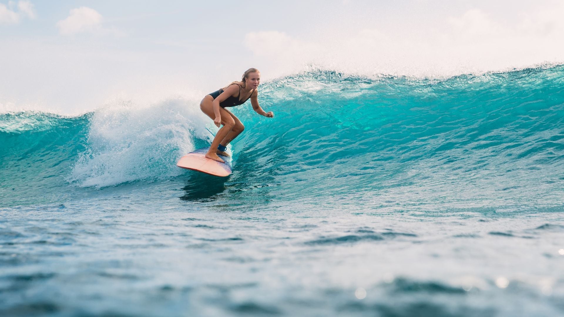
The best water-sports forecast apps in 2026
An honest, sport-by-sport look at the forecast apps worth your time — Surfline, Windy, Windguru, Windfinder and 4Shor — and which one fits how you ride.
 Field notes
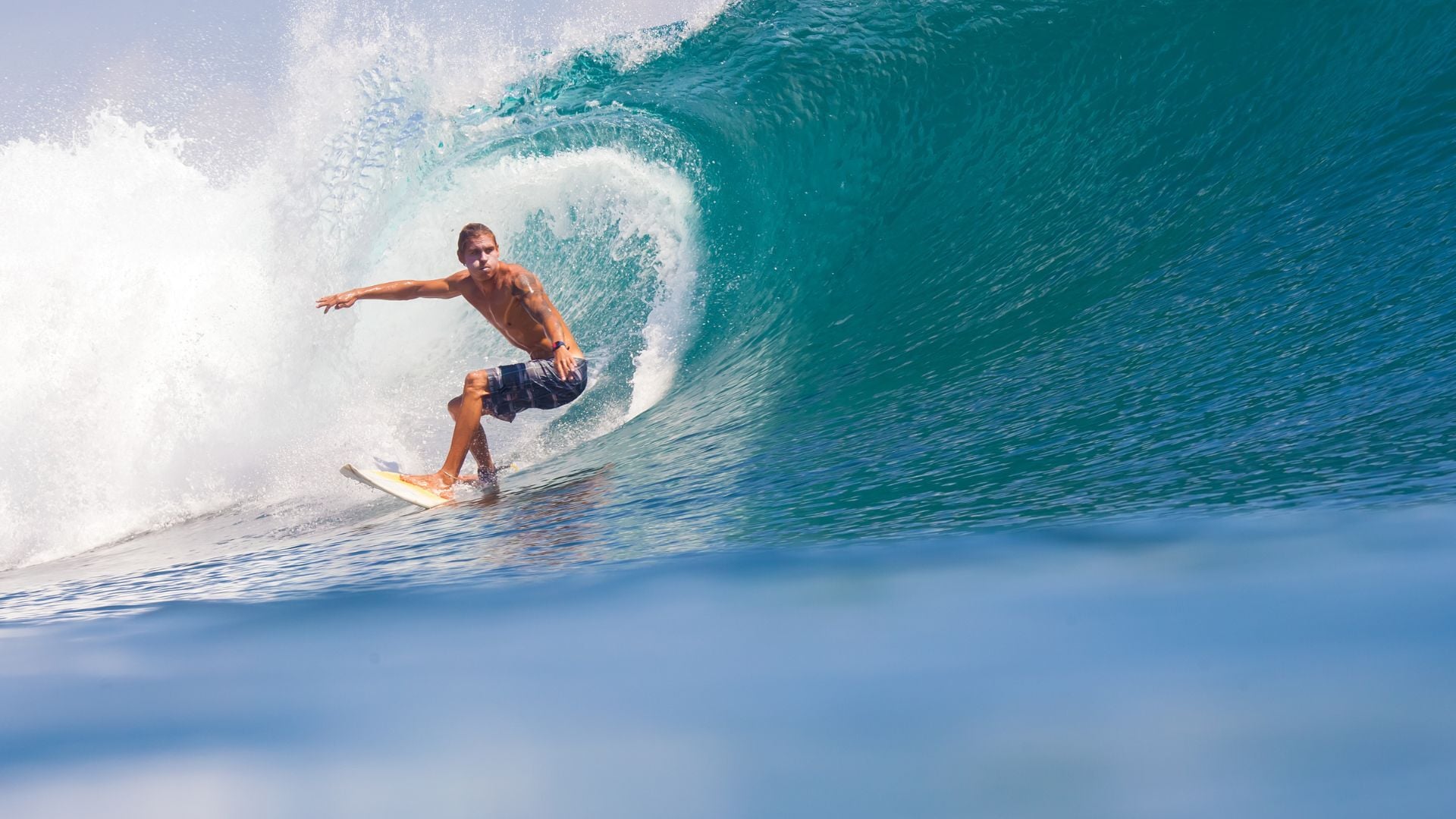
A surf weekend in Cornwall
Two days chasing clean waves along the north Cornwall coast — dawn patrols, tide windows, and letting the forecast decide which beach to drive to.
 Getting started
Surfing for beginners: catching your first waves
The conditions to look for, the ones to avoid, and how to pick a beginner-friendly beach and tide so you spend more time up and riding.
Find your next session.
4Shor scores every spot for your sport and ability, up to 8 days ahead — so you always know when to go.