Riding the Meltemi: a windsurfer's guide to Greek summer wind
How the Aegean's Meltemi thermal wind builds each summer, which islands hold it best, and why you should plan around the season, not the forecast.
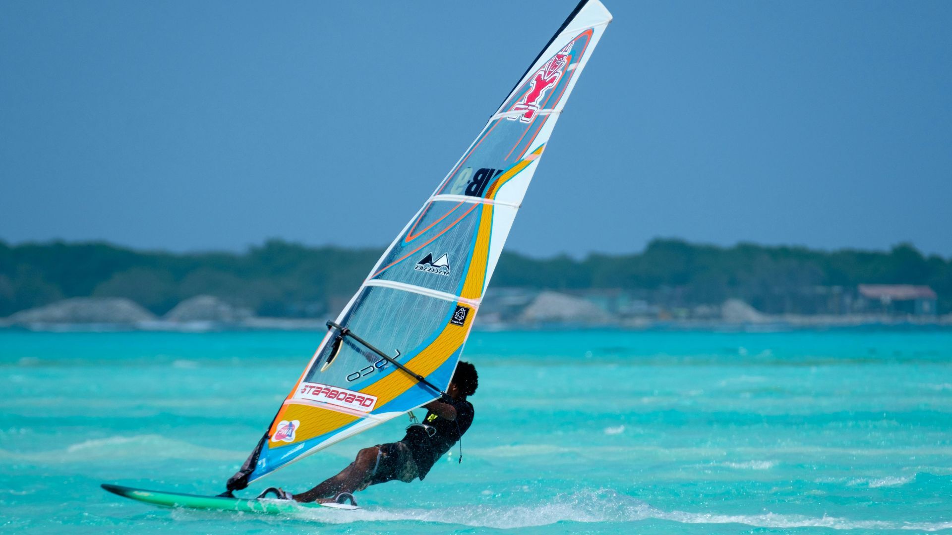
There's a particular kind of stubbornness to the Meltemi that you don't get with most thermal winds. Tarifa's Poniente can drop for days. Nor'westers in Western Australia are lovely but fickle. The Meltemi, once it properly sets up in July and August, just keeps going — sometimes for a week or more without a break, sometimes at 25 knots-plus in the exposed channels. If you're planning a windsurfing trip to the Aegean, understanding why it blows the way it does matters more than watching any single day's forecast.
What's actually driving it
The Meltemi is a pressure-gradient wind, not a pure sea breeze, though the two mechanisms stack on top of each other in summer and that's what makes the Aegean so good. Through June, July and August, a persistent low sits over Turkey and the eastern Mediterranean while high pressure builds over the Balkans. Air gets pulled from north to south down that gradient, funnelled by the shape of the Aegean basin itself — a long corridor of open water flanked by mountainous islands and mainland Greece to the north, Crete and the North African high to the south.
On top of that large-scale gradient, you get the daily thermal effect: the Anatolian and Greek mainland heat up hard through the day, air rises over the hot land, and cooler marine air gets drawn in to replace it. Because the background gradient wind is already blowing from the north, the afternoon thermal boost simply adds to it rather than fighting it, which is why Aegean afternoons build so reliably and so strongly once the season is properly underway. Mornings are often glassy or light and northerly; by early afternoon it's filled in, and by mid-to-late afternoon many islands are seeing their strongest wind of the day, sometimes gusting well above the average as it funnels between islands and headlands.
This is worth reading properly if you're new to thermal systems generally — the same logic (heating gradient plus channelling terrain) shows up in Tarifa's Levante and plenty of other wind spots, and we've gone into the general mechanics in reading the wind for kite and wing.
Why the season matters more than the day
Here's the practical point: the Meltemi isn't a weather event, it's a seasonal regime. It starts to appear in patches from May, becomes genuinely reliable from mid-June, peaks through July and August, and tails off through September as the temperature gradient between Anatolia and the Balkans weakens and the Azores high retreats. That means a forecast telling you Tuesday looks marginal is much less useful than knowing you're travelling in the third week of July, when the whole basin is statistically loaded in your favour.
I plan Aegean trips the way I'd plan around a monsoon rather than around a swell window — pick the right fortnight, book a base with good options for both wind and no-wind days, and treat the daily forecast as a guide to timing your session rather than a decision on whether to travel at all. If you're weighing the Aegean against other options for the same fortnight, the broader seasonal picture is covered in the best time of year for European watersports, which is worth cross-checking before you book flights.
Which islands hold the wind best
Not every Greek island gets the same Meltemi. Exposure and channelling matter enormously.
Paros and Naxos are the classic windsurfing bases for good reason — they sit in the middle of the Cyclades where the wind gets squeezed between the islands and accelerates. New Golden Beach on Paros and Mikri Vigla on Naxos both see reliably strong, cross-shore to onshore afternoon wind through July and August, often 20-25 knots with flat-ish water on the sheltered side and chop further out.
Karpathos, particularly around Afiartis in the south, catches an even more concentrated version of the same effect thanks to the mountains funnelling air off the land — it's one of the windiest reliable spots in the whole Aegean, but it's remote enough that you want to be sure you'll use the wind rather than sit out storms of a different kind.
Rhodes, on the eastern edge of the system, gets a cleaner, slightly less brutal Meltemi and a longer light-wind morning window, which suits mixed groups where not everyone wants 25 knots every afternoon.
Lefkada and the Ionian side, by contrast, are largely sheltered from the Meltemi proper — they get their own more localised thermal systems, which is a different trip with a different rhythm.
If you're island-hopping rather than basing yourself in one spot, our Greece location page is a useful starting point for comparing exposure and access across the archipelago before you commit to a base.
Planning around it, not against it
A few things I'd genuinely build a trip around rather than treat as afterthoughts. First, aim for the second half of June through August if consistency is your priority — May and early September can be excellent but are noticeably less certain. Second, expect a light or flat morning most days; plan beach time, ferries, or exploring for before midday and keep afternoons free. Third, don't be put off by a top-end forecast — a 25-knot afternoon on Paros with flat water in the lee of the headland is a very different, much friendlier day than the same number in open water off Karpathos, so match the island's exposure to your own comfort level rather than just the wind number. And finally, if a forecast is showing a genuine multi-day interruption — which does happen, usually tied to a broader pressure shift over the Balkans — treat it as a short pause in a reliable system, not a sign the season's failing you. The Meltemi almost always comes back.
More stories
 Seasonal
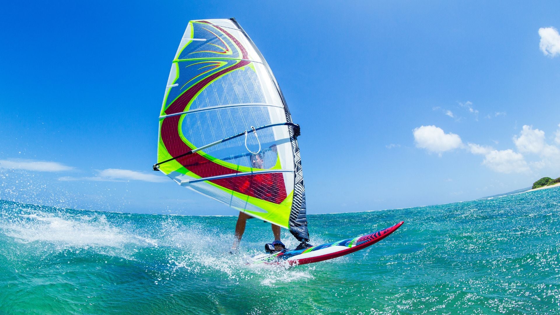
When to go: a season-by-season guide to European watersports
Winter swell, summer thermals, spring and autumn shoulders — when each sport peaks across Europe, and how to plan a trip around the conditions.
 Comparison
The best water-sports forecast apps in 2026
An honest, sport-by-sport look at the forecast apps worth your time — Surfline, Windy, Windguru, Windfinder and 4Shor — and which one fits how you ride.
 Field notes
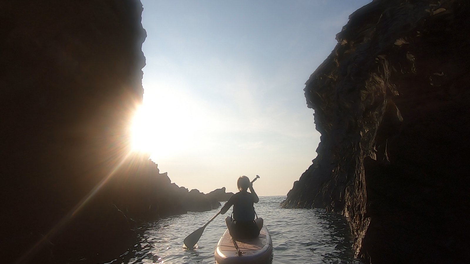
Paddleboarding into the Witches Cauldron, Pembrokeshire
Moving our Pembrokeshire trip to a calmer Friday evening so Sarah, new to paddleboarding, could SUP through the arch into the Witches Cauldron — and out at sunset.
Find your next session.
4Shor scores every spot for your sport and ability, up to 8 days ahead — so you always know when to go.